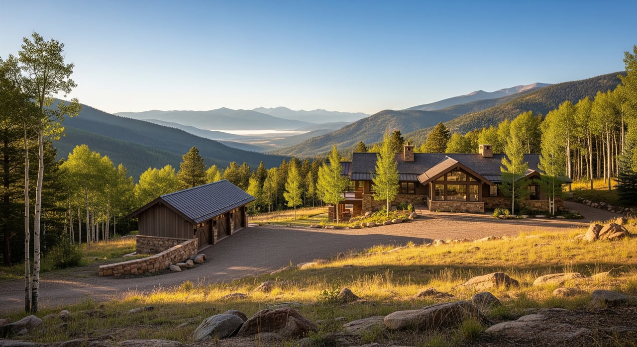
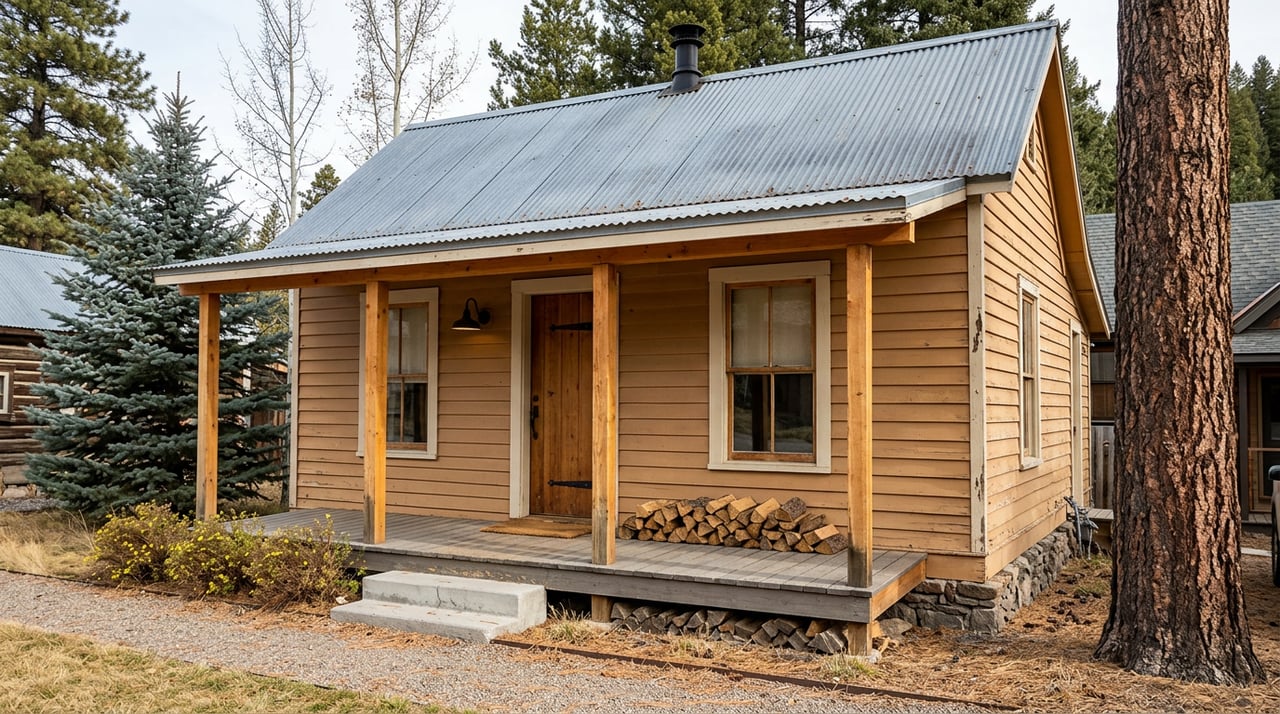
Shopping for land near Divide and wondering what you can actually build? You are not alone. Zoning in unincorporated Teller County sets the ground rules for homes, shops, short‑term rentals, wells, and more. In this guide, you will learn where to find official maps and records, which zoning categories and overlays to watch, and a simple research workflow that protects your timeline and budget. Let’s dive in.
Why zoning matters in Divide
Divide is unincorporated, so Teller County is the primary land‑use authority. County zoning and permitting determine what uses are allowed, where structures can sit, and what approvals you may need. Municipal rules only apply if your parcel sits inside a town boundary, which most Divide‑area parcels do not. Services like water, sewer, and fire protection often come from special districts or private systems instead of a city utility.
Who regulates land use locally
For most Divide parcels, you will work with Teller County Planning and Zoning for zoning and land‑use questions. The Building Department oversees building permits and inspections. The Assessor and GIS teams provide parcel maps, IDs, and characteristics, while the Clerk and Recorder houses recorded deeds, plats, covenants, and easements. Environmental Health handles onsite wastewater system rules and permitting when septic is required.
Key zoning categories you will see
Exact zone names and standards are defined in Teller County’s land‑use regulations. Here is how common categories typically function in rural Colorado counties like Teller:
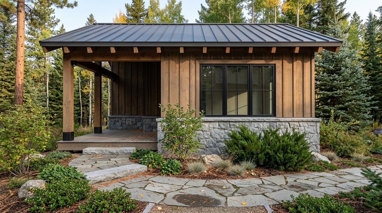
- Rural Residential (RR or Rural Estate): Low‑density homes on larger lots, with accessory buildings and limited hobby agriculture often allowed.
- Agricultural (A): Focus on farming and animal uses, with residences often permitted along with resource management.
- Residential Single‑Family (R‑S or similar): Smaller residential lots with stricter placement and density standards.
- Forestry/Resource: Emphasis on woodland and natural resource protection, which can limit clearing and building footprints.
- Commercial (C): Retail or service uses, often along highways or within small nodes.
- Industrial or Extractive: Manufacturing, processing, or mining, typically with additional environmental controls.
- Planned Unit Development (PUD): Customized zoning for a subdivision or mixed‑use project that carries its own standards.
Always confirm the exact permitted uses, setbacks, and lot standards in the county’s zoning code for your specific parcel.
Overlays and site constraints to check
Overlays add requirements on top of base zoning. In and around Divide, you should evaluate the following:
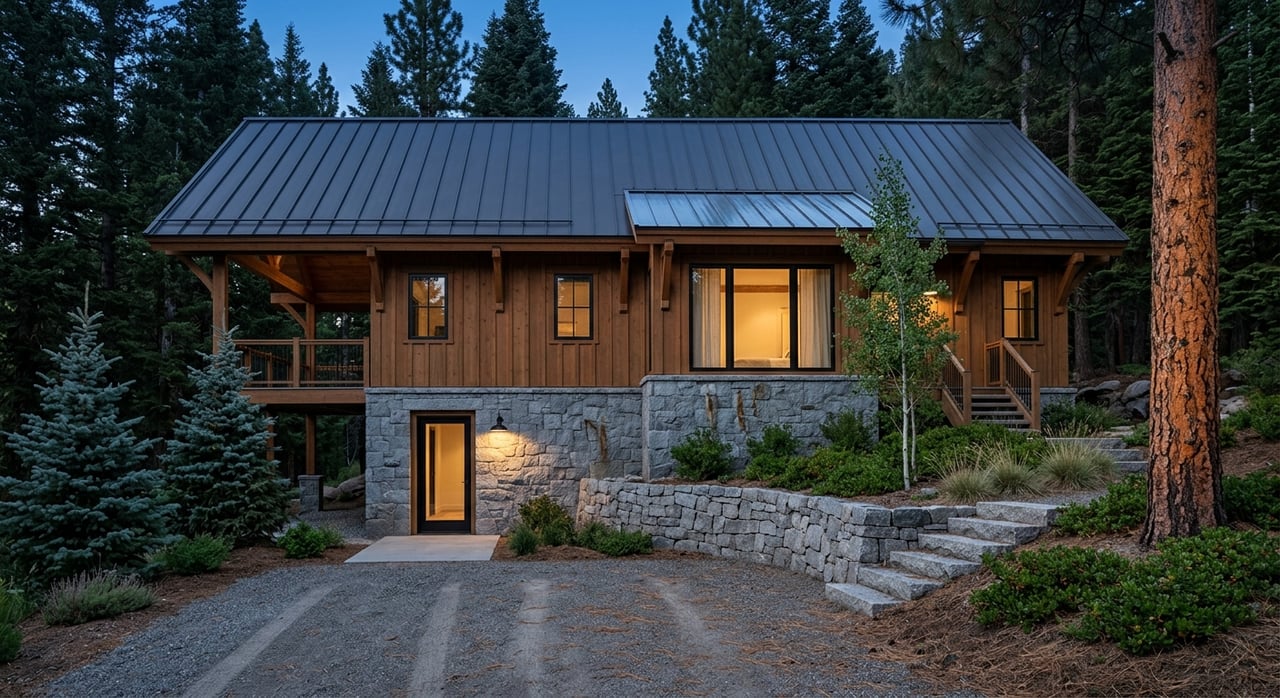
- Wildfire hazard/WUI: May require defensible space, specific building materials, and vegetation clearance.
- Floodplain: Can affect building locations and foundation elevation; insurance may be required.
- Steep slope or geologic hazards: Can trigger engineering reports, grading limits, and added costs.
- Mining or mineral claims: Historic or active claims can affect surface use and safety considerations.
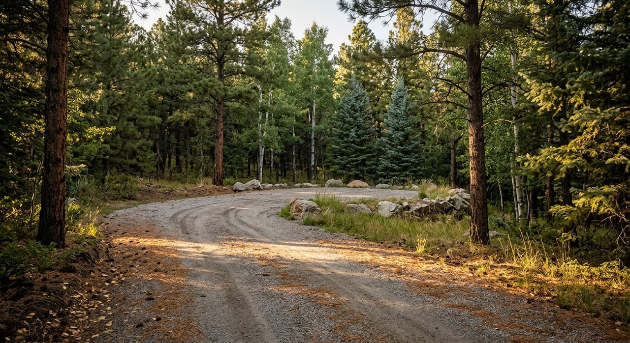
- Road access and rights‑of‑way: Driveway permits or access standards can apply.
- Recorded easements or conservation restrictions: Deed‑based limitations can be stricter than zoning.
Permits and approvals that can change uses
Some uses are allowed only with specific approvals. Common tools include conditional or special use permits, variances for relief from certain standards, and rezoning. These processes involve applications, public notice, and hearings, and they take time. Do not assume any rezone or variance will be approved without a formal review.
Where to find maps and records
Authoritative information comes from Teller County’s official resources and relevant state and federal agencies. Plan to consult:
- Teller County GIS/Mapping for parcel boundaries, zoning layers, roads, and district boundaries.
- Assessor for parcel IDs, ownership, and property characteristics.
- Clerk and Recorder for deeds, plats, covenants, and easements.
- Planning and Zoning for the zoning code, permitted uses, and applications.
- Building Department for permit history and submittal requirements.
- FEMA flood maps for flood zone status.
- Colorado Division of Water Resources for well permits and water rights records.
- Colorado Department of Public Health and Environment and county Environmental Health for septic rules and permitting.
Match the parcel’s APN or legal description across these systems to keep records consistent.
Step‑by‑step zoning research checklist
Use this practical workflow to evaluate a Divide‑area parcel:
Identify the parcel
- Get the address or APN and confirm the legal description via the county assessor or listing documents.
Confirm jurisdiction
- Verify the parcel is in unincorporated Teller County. This determines which rules apply.
Pull the zoning map and code text
- Locate your parcel on the county GIS, note the zone district, then read that district’s permitted uses in the land‑use regulations.
Check overlays and constraints
- Review layers for wildfire/WUI, floodplain, steep slopes, mining claims, and any conservation or utility easements.
Review recorded documents
- Pull deeds, plats, and covenants. HOA rules or deed restrictions can be stricter than county zoning.
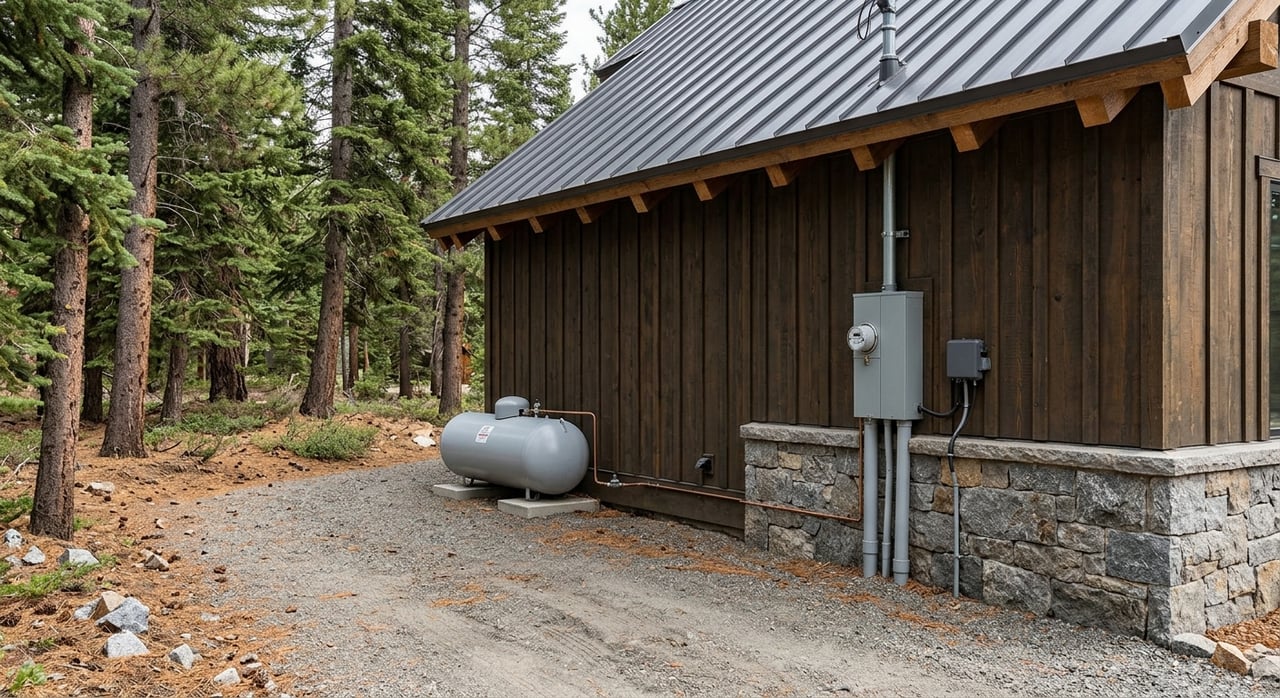
Evaluate utilities, water, and wastewater
- Identify the water source: special district, regional system, or private well. Check state well records if applicable. Determine if a septic system is required and review county permitting rules.
Confirm access and roads
- Verify legal access via public road or easement. For private roads, identify maintenance responsibilities. Ask whether a driveway permit is needed.
Map services and emergency response
- Confirm the fire protection district and note any defensible‑space guidance. Also check law enforcement, EMS, and school district boundaries.
Walk the site
- Visit to confirm topography, tree cover, structures, and practical access. Take photos and note GPS points for future planning.
Order preliminary title
- Confirm ownership, liens, easements, covenants, and whether mineral rights are severed or reserved.
- List permits for your intended use
- Identify likely permits, fees, and timelines for building, septic, well, driveway, grading, or any conditional uses.
- Engage professionals as needed
- Consider a surveyor, septic designer, civil engineer, well driller, hydrologist, or a land‑use attorney for complex issues.
- Estimate total costs and time
- Include mitigation for wildfire or slope, road or driveway work, utility connection or off‑grid systems, well and septic installation, and potential application fees.
- Confirm with county staff
- Before finalizing, ask Planning and Zoning to confirm permitted uses and whether any pending applications could affect the parcel.
Who to call in Teller County
Start with county staff, then loop in specialists as your plan takes shape.
- Planning and Zoning: Zoning designation, permitted uses, and application processes for rezones, variances, or conditional uses.
- GIS/Assessor: Parcel maps, APN, and property characteristics.
- Building Department: Permit requirements, submittal checklists, and permit history.
- Clerk and Recorder: Recorded deeds, plats, covenants, and easements.
- Environmental Health: Septic rules, site evaluations, and permits.
- Treasurer/Assessor: Property tax status and assessed value.
For technical topics, contact the Colorado Division of Water Resources for wells and water rights, CDPHE for statewide onsite wastewater guidance, and FEMA for flood zone information. Local water or sanitation districts, the fire protection district, and utility providers can advise on service availability and connection steps.
Common pitfalls and timelines
- Covenants vs. zoning: Recorded covenants or HOA rules may be more restrictive than county zoning. Always read them.
- Access and maintenance: Private roads can carry ongoing costs or maintenance disputes. Confirm agreements early.
- Water supply: A well permit and a successful well are separate issues. Yields are not guaranteed.
- Septic suitability: Soils and slope can limit or prevent installation even when zoning allows a home.
- Wildfire and slope costs: Mitigation, engineering, and driveway design can materially increase budgets.
- Rezoning or variances: These processes take months, require public notice and hearings, and are not guaranteed.
Typical ranges to expect, depending on completeness and conditions: a straightforward home building permit can take weeks to a few months; septic permits and installation often take several weeks to months; well permitting and drilling can span weeks to months; rezoning or conditional uses commonly take several months and sometimes longer.
How we help land buyers
Buying land in the mountains is about plans meeting reality. A clear path through zoning, overlays, access, and utilities helps you avoid missteps and keep your project moving. Our team works this process every week, from parcel selection and document pulls to coordinating site visits and lining up the right local pros.
If you want a patient, locally grounded guide for Divide and greater Teller County, we are here to help you evaluate options and make a confident decision. Connect with Thetford Team Real Estate to discuss your goals and next steps.
FAQs
How do I confirm zoning for a Divide parcel?
- Start with the county GIS to find the parcel’s zone district, then read that district’s permitted uses in the Teller County land‑use regulations.
What overlays matter most in Teller County?
- Wildfire/WUI, floodplain, steep slopes or geologic hazards, mining and mineral claims, access and right‑of‑way, and any recorded conservation or utility easements.
Can I add an accessory dwelling unit on my land?
- It depends on your zone district and any covenants; check permitted uses and standards in the county code and verify with Planning and Zoning.
How do wells and septic factor into approval?
- Zoning sets land uses, while well permits come from the state and septic permits come from county Environmental Health; you may need all three for a build.
What if my parcel sits on a private road?
- Confirm recorded access and who maintains the road, and ask the county about driveway permit requirements and any improvement standards.
How long does rezoning or a conditional use take?
- These processes commonly take several months and include public notice, hearings, and formal decisions, so build that time into your plan.